Antarctic Civilization: The Prehistoric Pyramids Beneath the White Silence
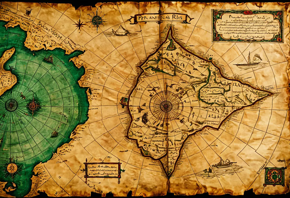
The Piri Reis Map: The Impossible Coastline
The genesis of the Antarctic mystery lies in the Piri Reis Map of 1513. Discovered in Turkey in 1929, this map depicts the coasts of Africa, South America, and—most shocklingly—a northern section of Antarctica known as Queen Maud Land.
What makes this impossible is twofold: first, Antarctica wasn’t officially “discovered” until 1818. Second, the map shows a coastline without ice . Seismic surveys in the 1950s confirmed that the rock bed beneath the Antarctic ice matches the Piri Reis coastline with terrifying accuracy. This suggests that the original source maps were drawn during a time when Antarctica was ice-free—roughly 6,000 to 12,000 years ago—by a culture capable of advanced global navigation.
Earth Crustal Displacement: The Flash-Frozen Kingdom
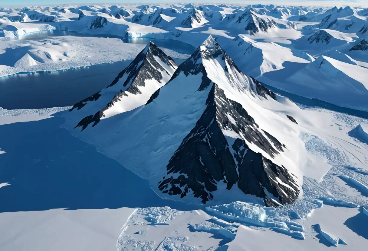
Historian Charles Hapgood, with a foreword by Albert Einstein , proposed the “Earth Crustal Displacement” theory. He argued that periodically, the entire outer shell of the Earth can slide over the mantle.
In this framework, Antarctica was once located in a more temperate latitude until it suddenly shifted to the South Pole. This wasn’t a slow transition, but a catastrophic repositioning that “flash-froze” a thriving civilization. Beneath the two-mile-thick ice sheet of today, there may be entire cities, perfectly preserved in a deep-freeze vault, waiting for the technology of the future to uncover them.
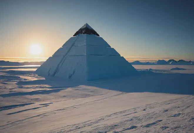
The Satellites of Giza: Pyramids in the Snow
In recent years, modern internet explorers have utilized Google Earth to find “Antarctic Pyramids.” These structures show perfectly symmetrical, four-sided geometry poking through the ice.
While geologists categorize these as Nunataks—the tops of mountains that have been eroded into pyramid shapes by glacial motion—proponents of the lost civilization theory argue they are too clinical to be natural. Are these mountains that were “carved” into sacred monuments by the same prehistoric engineers who built Giza? Or are they the apexes of buried temples from the same global era?
Base 211 and the Nazi Occult Connection
The mystery of Antarctica is haunted by the shadow of the Thule Society. In the late 1930s, Nazi Germany sent an expedition to Antarctica, claiming a territory they called “Neuschwabenland.”
Urban legends suggest they discovered vast, warm thermal caves and built a secret underground fortress known as “Base 211.” After the war, rumors circulated that the “UFOs” seen by Admiral Byrd during Operation Highjump were actually advanced technology developed at this base, utilizing secret knowledge obtained from the subterranean residents of Agartha . True or not, the “White Continent” remains the ultimate playground for the most extreme theories of our age.